Assessing Los Angeles Earthquake Risk
Los Angeles, situated in the seismically active region of Southern California, is at risk of powerful earthquakes. The Southern San Andreas fault, which runs through Los Angeles County, can cause earthquakes as big as magnitude 8.0. According to the United States Geological Survey (USGS), there is a 75% probability of one or more magnitude 7.0 or greater earthquakes striking Southern California within a 30-year period starting from 2014.
Recent Earthquakes in Los Angeles
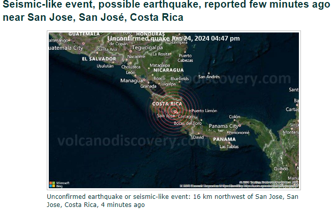
Los Angeles experiences frequent earthquakes, with many being mild or moderate. In the past 24 hours, there has been one earthquake of magnitude 1.5 or greater. Over the past week, there have been seven earthquakes, and 33 earthquakes in the past 30 days. These recent earthquakes highlight the ongoing seismic activity in the region.
Effects & Damage of a Major Los Angeles Earthquake
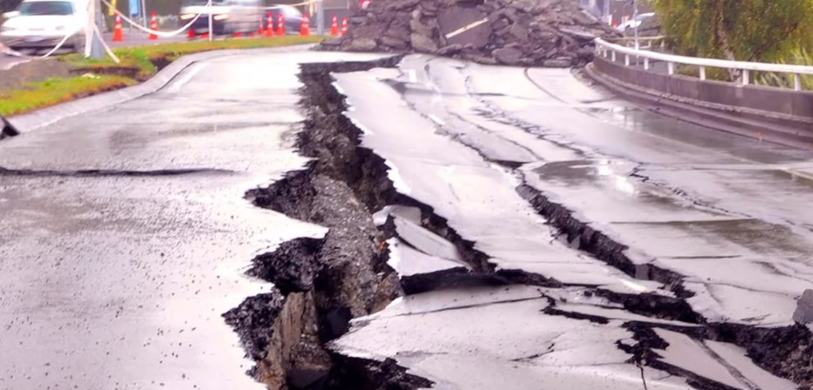
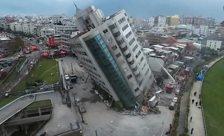
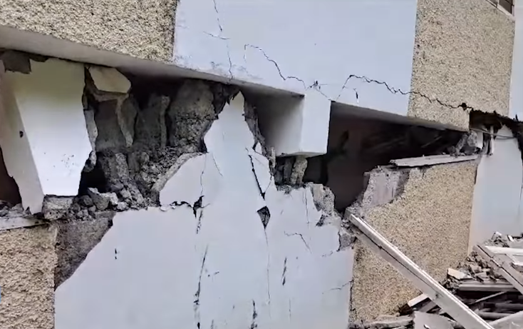
A major earthquake in Los Angeles can have devastating consequences. The USGS estimates that a magnitude 7.5 or greater earthquake could cause:
- 1,800 deaths
- 1,600 fires
- 750 people trapped inside buildings
- 50,000 ER visits
- 19 days of search and rescue efforts
Mitigating Earthquake Damage in LA
To prepare for earthquakes, residents can take steps to mitigate damage. This includes:
- Securing heavy furniture and objects
- Storing heavy objects on low shelves
- Hanging heavy objects away from beds and couches
- Bracing overhead light fixtures
- Removing heavy objects from walls and shelves
- Storing flammable liquids in well-ventilated areas
- Keeping emergency supplies and a first aid kit handy
Los Angeles Earthquake Prediction
While predicting the exact time and location of an earthquake is impossible, understanding the seismic activity and fault lines in the region can help residents prepare. The San Andreas fault, which runs through Los Angeles County, is the longest fault in California and can cause powerful earthquakes.
Los Angeles Fault Line Map
The Los Angeles fault line map highlights the various faults that run through the region, including the San Andreas fault. This map helps residents understand the seismic activity in their area and take necessary precautions.
Los Angeles Earthquake Risk Map
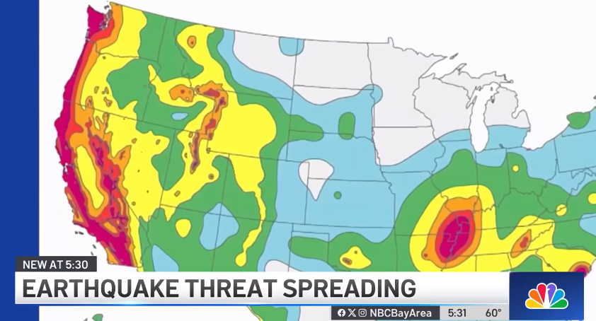
The Los Angeles earthquake risk map provides a visual representation of the areas most prone to earthquake damage. This map is essential for residents to understand their risk and take steps to mitigate damage.
Conclusion
Los Angeles is at risk of powerful earthquakes due to its location on the San Andreas fault. Understanding the seismic activity, preparing for earthquakes, and taking steps to mitigate damage are crucial for residents to minimize the impact of a major earthquake.
| Topic | Description |
|---|---|
| Earthquake Risk | 75% probability of a magnitude 7.0 or greater earthquake in 30 years |
| Recent Earthquakes | 1 in the past 24 hours, 7 in the past week, 33 in the past 30 days |
| Effects & Damage | 1,800 deaths, 1,600 fires, 750 trapped, 50,000 ER visits, 19 days of search and rescue |
| Mitigation | Secure heavy objects, store flammable liquids safely, keep emergency supplies handy |
| Prediction | Impossible to predict exact time and location, but understanding seismic activity helps preparation |
| Fault Line Map | Highlights various faults, including the San Andreas fault |
| Risk Map | Visual representation of areas prone to earthquake damage |
By understanding the risks and taking necessary precautions, residents of Los Angeles can minimize the impact of a major earthquake.


