Table of Contents
- What is a cyclone?
- How are cyclones formed?
- Anatomy of a cyclone
- The eye of the cyclone
- The eyewall
- Types of cyclones
- Impact of cyclones
- Cyclone tracking and forecasting
- Mitigating the impact of cyclones
What is a cyclone?
A cyclone is a large-scale air mass that rotates around a strong center of low atmospheric pressure, counterclockwise in the Northern Hemisphere and clockwise in the Southern Hemisphere as viewed from above. This rotation is due to the Coriolis effect, an apparent force caused by Earth’s rotation that deflects the path of wind. Cyclones are characterized by inward-spiraling winds that rotate about a zone of low pressure. They can form over various scales, from mesocyclones and tornadoes to large-scale polar vortices and extratropical cyclones.
How are cyclones formed?
Cyclones form when a pre-existing weather disturbance interacts with warm tropical oceans, moisture, and relatively light winds. When these conditions persist long enough, they can combine to produce the violent winds, large waves, torrential rains, and floods associated with cyclones. Cyclogenesis, the process of cyclone formation and intensification, can occur in various ways depending on the type of cyclone.
Anatomy of a cyclone
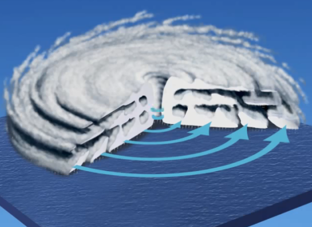
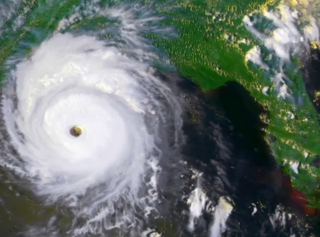
Cyclones have three main parts: rainbands, the eye, and the eyewall. Rainbands are spiral bands of clouds and showers that rotate around the cyclone’s center. The eye is the calm, mostly cloud-free area at the center of the storm, where air sinks. The eyewall is the ring of intense thunderstorms surrounding the eye, where the strongest winds and heaviest rainfall occur.
The eye of the cyclone
The eye of a cyclone is a roughly circular area of calm, sinking air at the center of the storm. It is typically 20-50 miles in diameter and can reach temperatures up to 5.5°C (10°F) higher than surrounding areas due to the subsidence and compression of air. The eye is characterized by low atmospheric pressure, which can drop as low as 880 millibars in intense cyclones.
The eyewall
The eyewall is the ring of intense thunderstorms surrounding the eye, where the strongest winds and heaviest rainfall occur. It is the most dangerous and destructive part of a cyclone, with winds reaching speeds of over 200 mph in some cases. The eyewall is also responsible for the majority of a cyclone’s rainfall, as it is the area where warm, moist air from the ocean surface is lifted and condenses into clouds and precipitation.
Types of cyclones
There are several types of cyclones, including:
- Tropical cyclones: These are warm-core cyclones that form over tropical or subtropical waters and have a well-defined low-level circulation. They are classified as tropical depressions, tropical storms, or hurricanes/typhoons, depending on their wind speed.
- Extratropical cyclones: These are large-scale weather systems that form in the middle latitudes and are driven by temperature contrasts between warm and cold air masses. They are cold-core systems and can bring a variety of weather conditions, including rain, snow, and strong winds.
- Polar cyclones: These are large-scale low-pressure systems that form over the polar regions, often associated with the polar vortex. They can bring cold temperatures, strong winds, and heavy snowfall to the Arctic and Antarctic regions.
Impact of cyclones
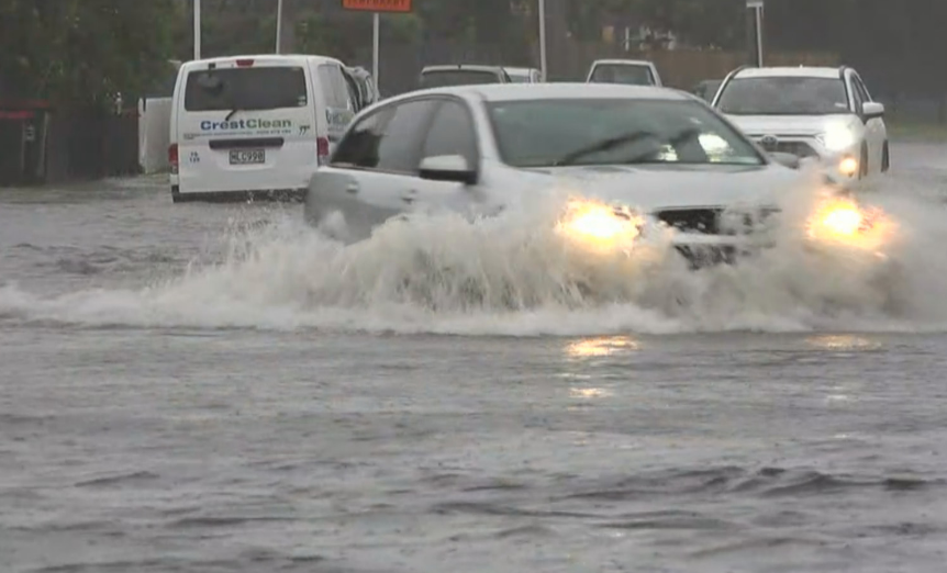
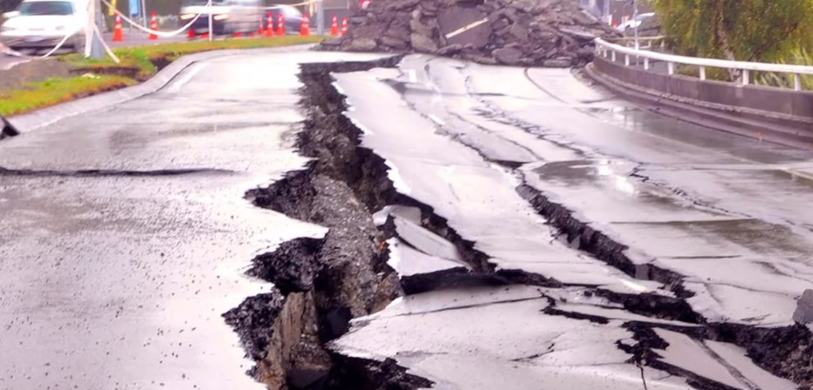
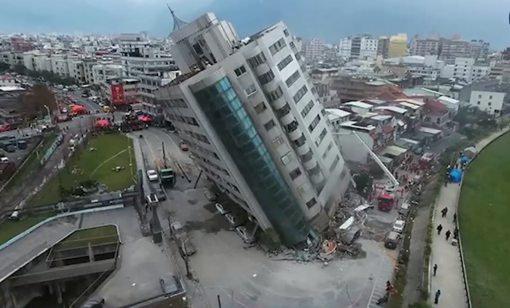
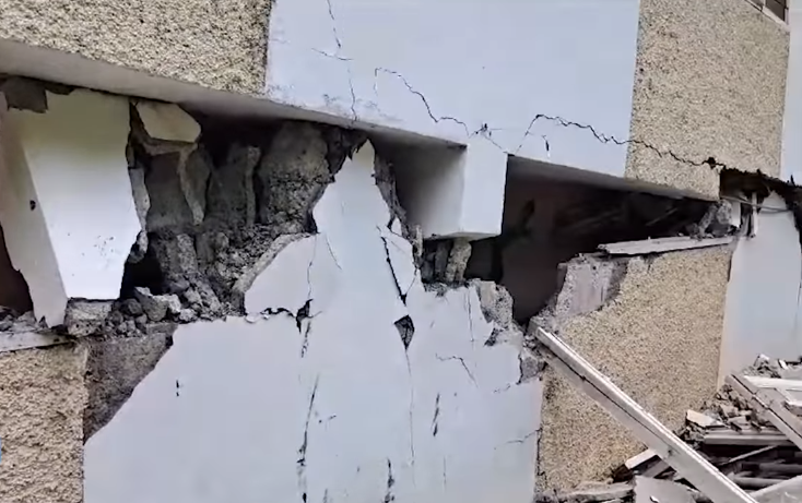
Cyclones can have significant impacts on human life and property, as well as the environment. They can cause widespread damage through strong winds, heavy rainfall, storm surges, and flooding. In addition, they can disrupt transportation, communication, and power systems, leading to economic losses and social disruption.
Cyclone tracking and forecasting
Cyclone tracking and forecasting are critical for early warning and mitigation efforts. Meteorologists use a variety of tools and techniques to monitor and predict cyclone activity, including satellite imagery, radar, and numerical weather prediction models. These tools help forecasters predict a cyclone’s track, intensity, and potential impacts, allowing officials to issue warnings and take appropriate action to protect lives and property.
Mitigating the impact of cyclones
There are several ways to mitigate the impact of cyclones, including:
- Early warning systems: These systems use a combination of meteorological observations, numerical weather prediction models, and communication networks to provide timely warnings to communities at risk from cyclones.
- Land use planning: Restricting development in high-risk areas, such as coastal zones and floodplains, can help reduce the impact of cyclones on human life and property.
- Building codes and standards: Implementing strict building codes and standards can help ensure that structures are built to withstand cyclone-force winds and storm surges.
- Emergency preparedness and response: Developing and implementing emergency plans, stockpiling supplies, and conducting regular drills can help communities prepare for and respond to cyclones.
